
GeoNet Tech is a multidisciplinary geomatics consulting company, servicing all levels of government, as well as private sector clients.

Federal Government
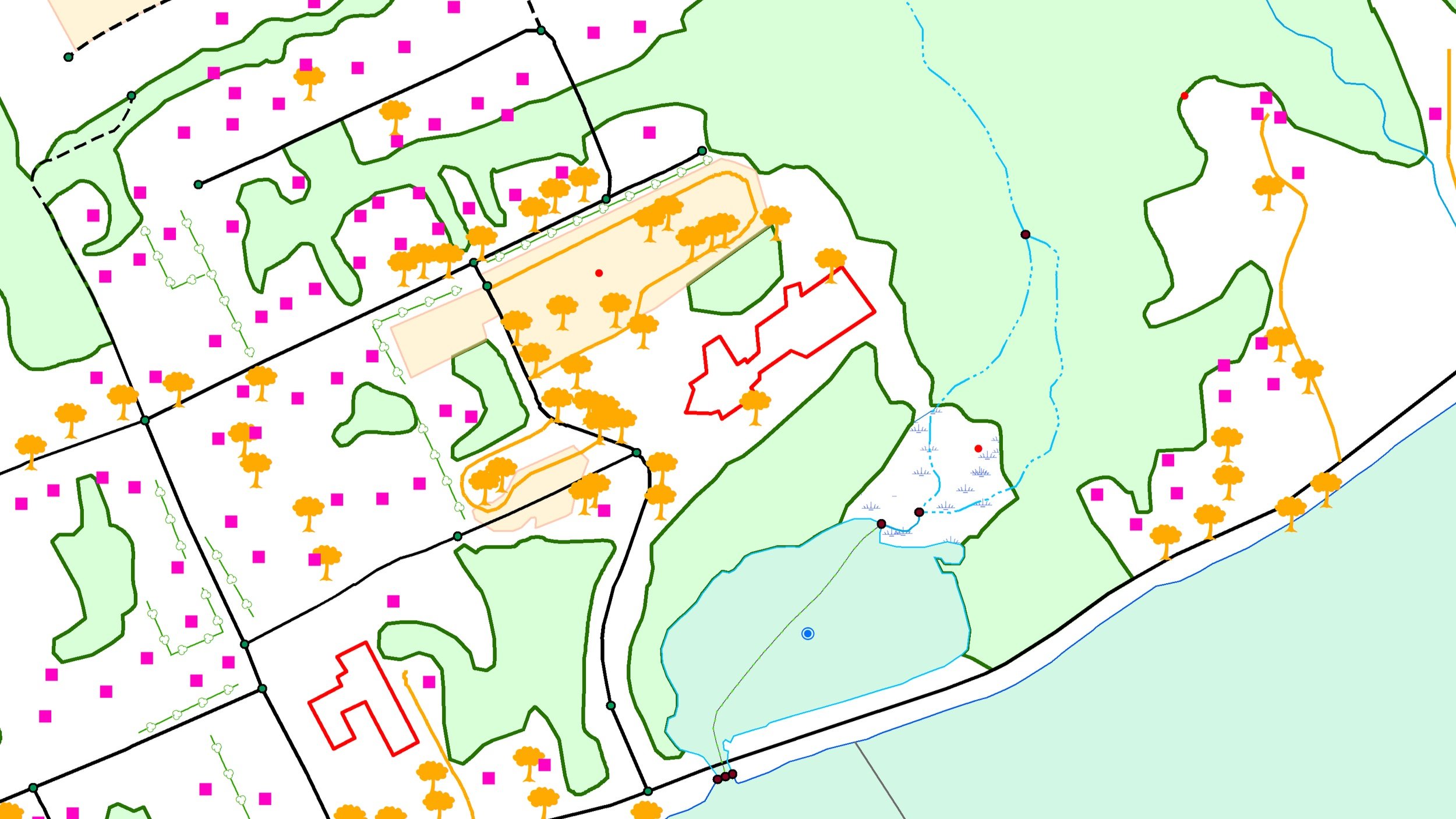
GeoNet has provided services for all levels of government, and specializes in topographic mapping.

Municipal Government
GeoNet has supported groups of towns in Prince Edward Island in mapping town boundaries.

Environmental Resource Mapping
We have worked with coastline analysis, network upgrading, aquaculture, and more.
Provincial Government
The Nova Scotia Geomatics Centre (NSGC) has been a client of GeoNet for over 18 years.

Nautical Charting
We have extensive experience in nautical charting, and have worked with the Canadian Hydrographic Service (CHS).

Map Design for Publication
Our skilled cartographers will help you prepare your map products for print publication.


